Geospatial Priortization Tool
View Presentation | View Application | View GitHub Repo
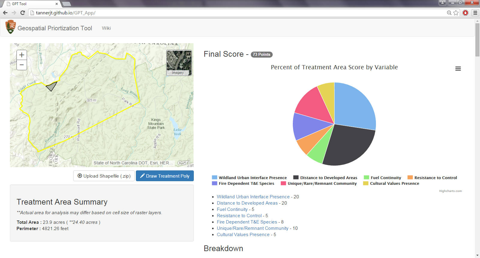
The Geospatial Prioritization Tool (GPT) was created as a final project for the capstone course of the MGIST program at NCSU. The project was built in collaboration with NCSU and the National Parks Service. The goal of the final application was to allow fire managers to submit fire treatment proposal areas and learn about important variables related to the geography of the area.
This project consisted of three main steps:
- Spatial Analysis to Create Analysis Rasters
- Geoprocessing Service Development with Python
- Web Application Development